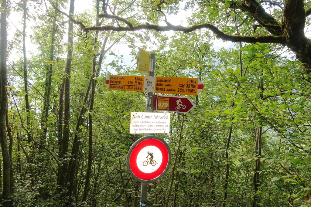
2017 Quinten-Laubegg-Walenstadt
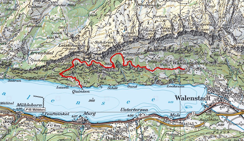
Wanderroute: 12.3 km, +1236m, -816m, Zeitplan 5.5 Stunden. Eine anstrengende, fantastische Bergwanderung belohnt mit herrlichen Aussichtspunkten hoch über dem Walensee.
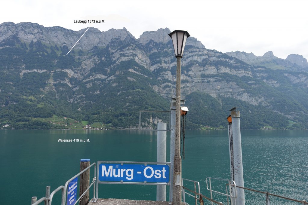
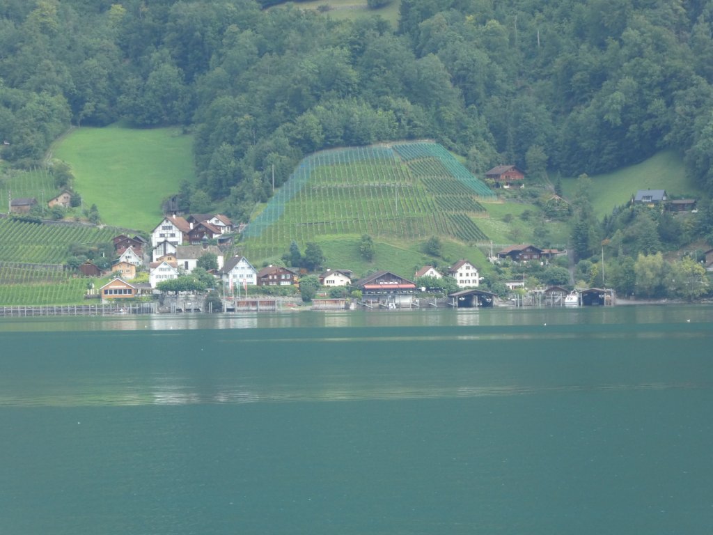
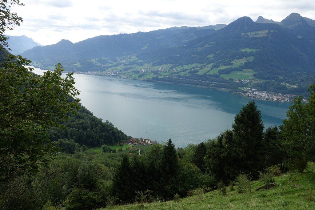
08:45 Uhr. Wir warten auf das Schiff nach Quinten. Quinten - Laubegg knapp 1000 Höhenmeter.
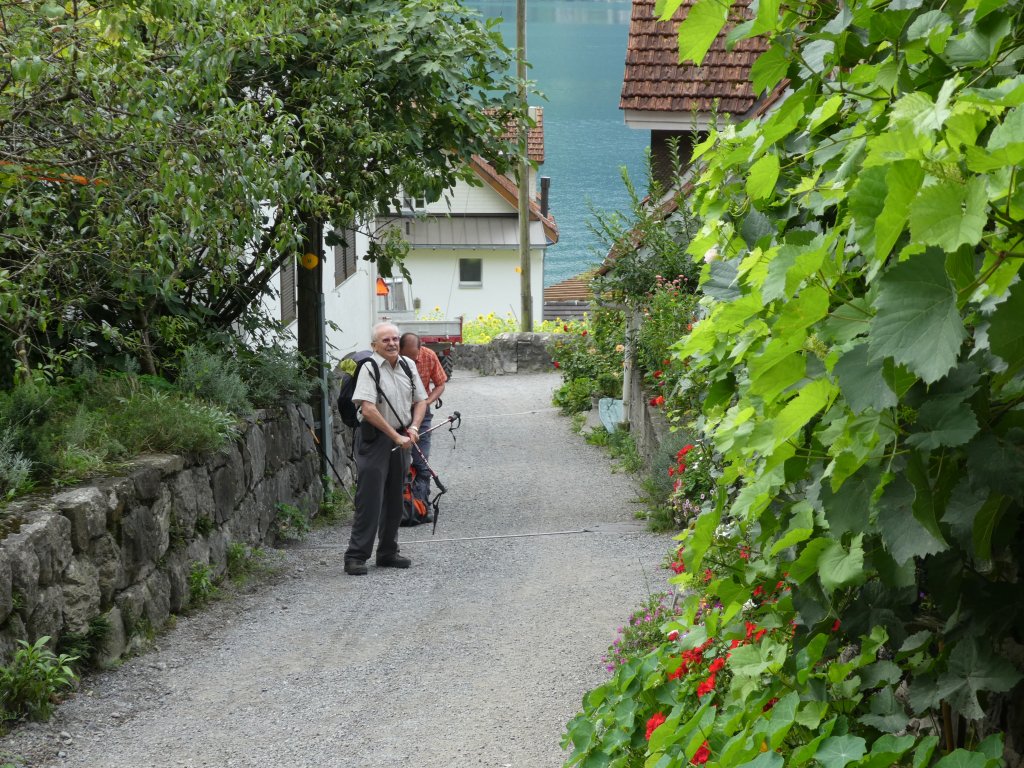
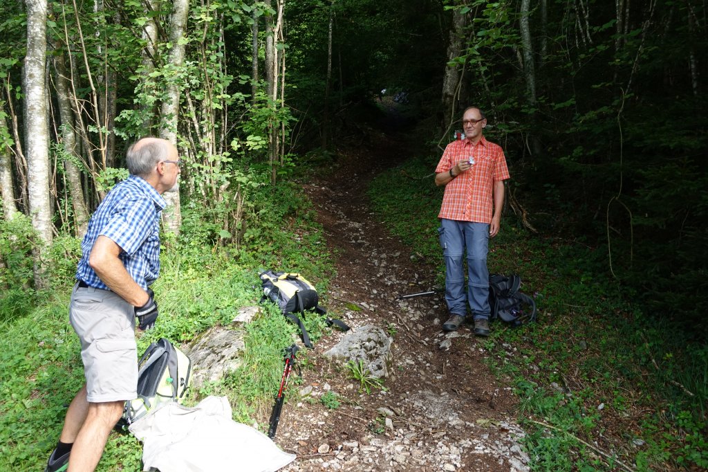
09:00 Uhr am Start in Quinten. Die Länge der Wanderstöcke muss noch korrekt eingestellt werden!
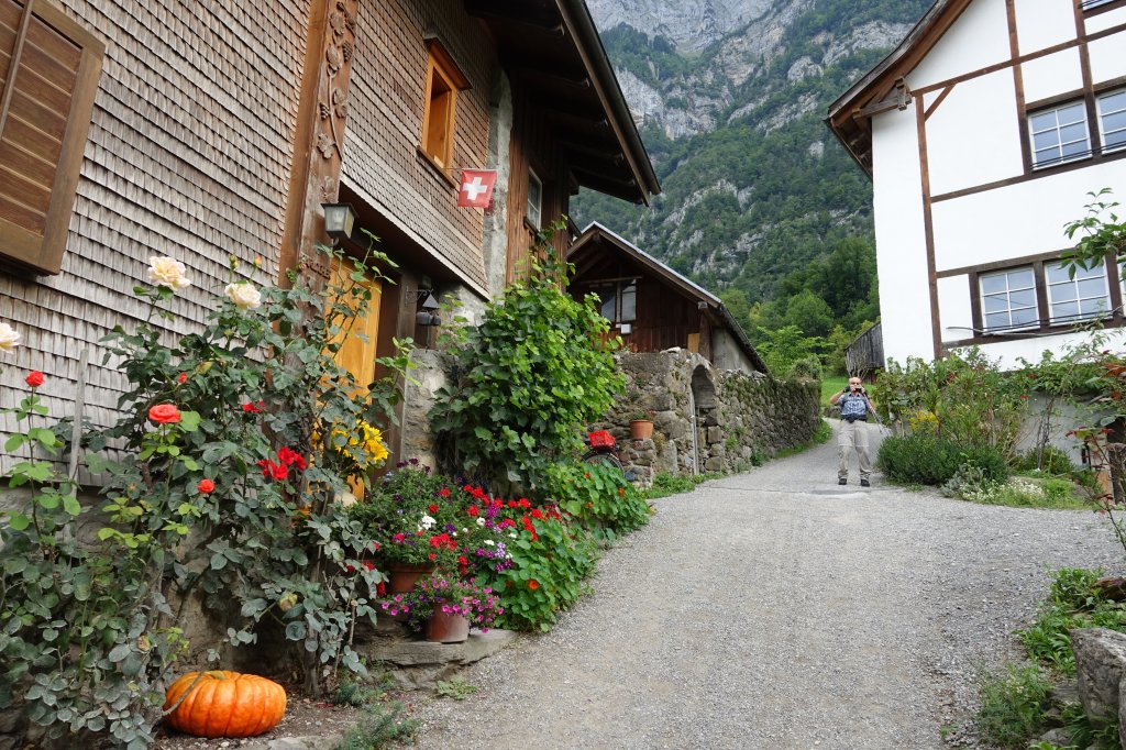
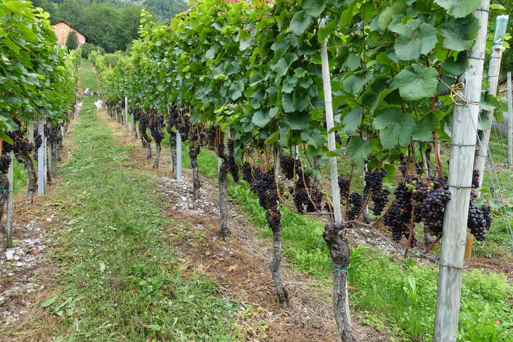
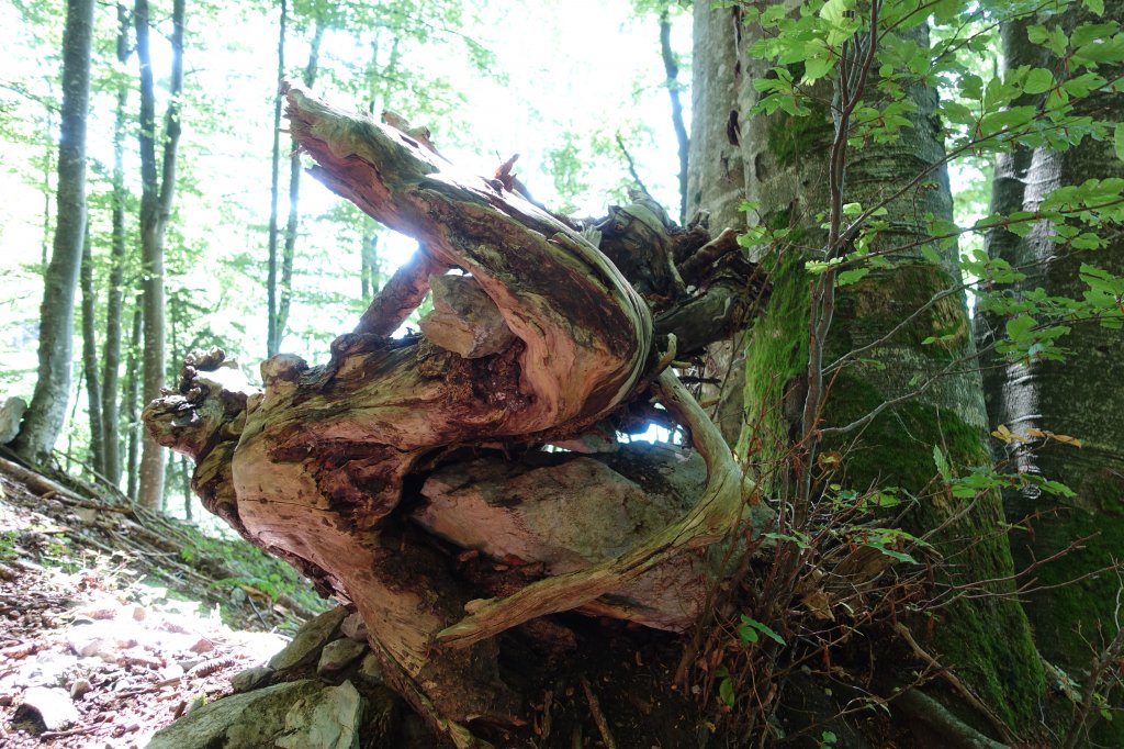
Der 2017er Quintener bekommt schon Farbe.
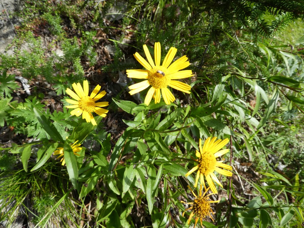
Wir bemerken auch Blumen am Wegrand!
10:12 Uhr: Nach 1 1/4 Stunden bereits 500 Höhenmeter hinter uns.
Flüssigkeit tanken und eine Banane zur Stärkung.
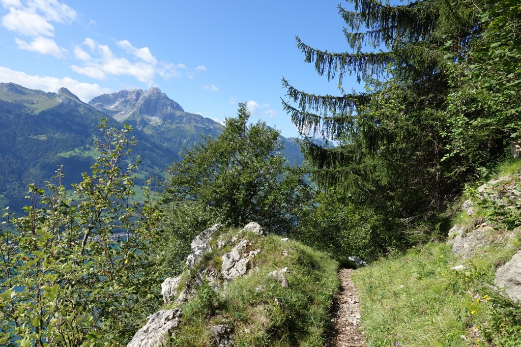
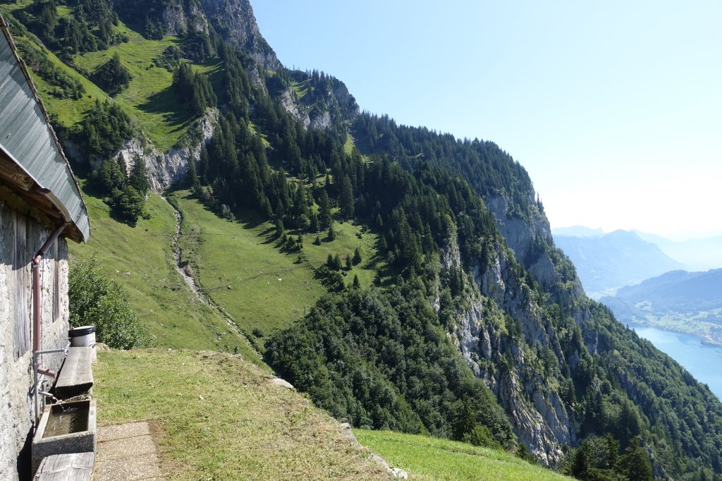
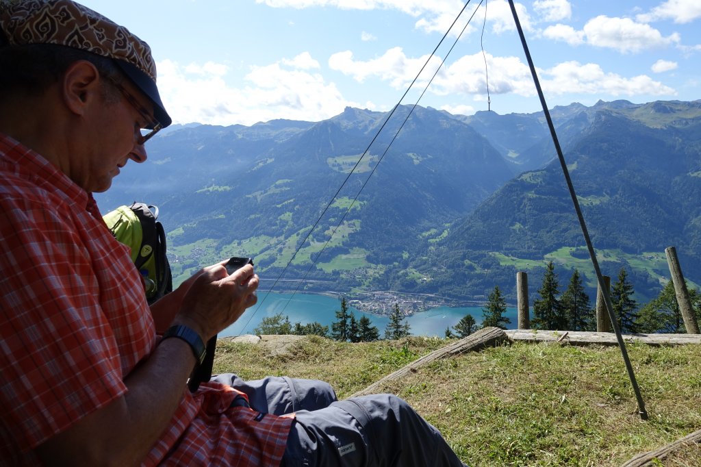
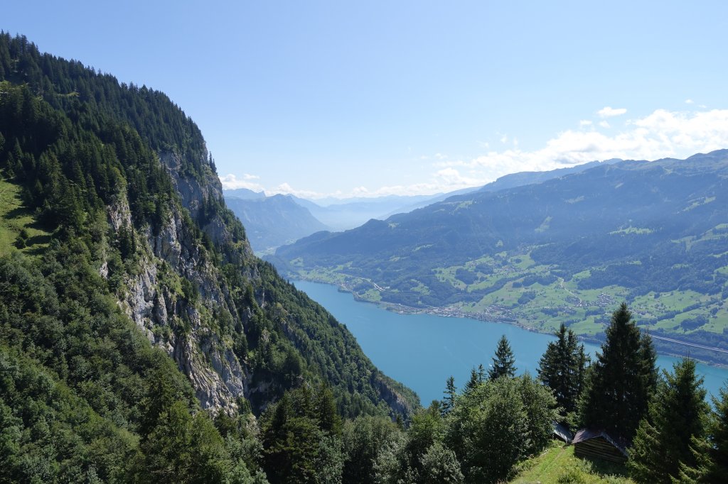
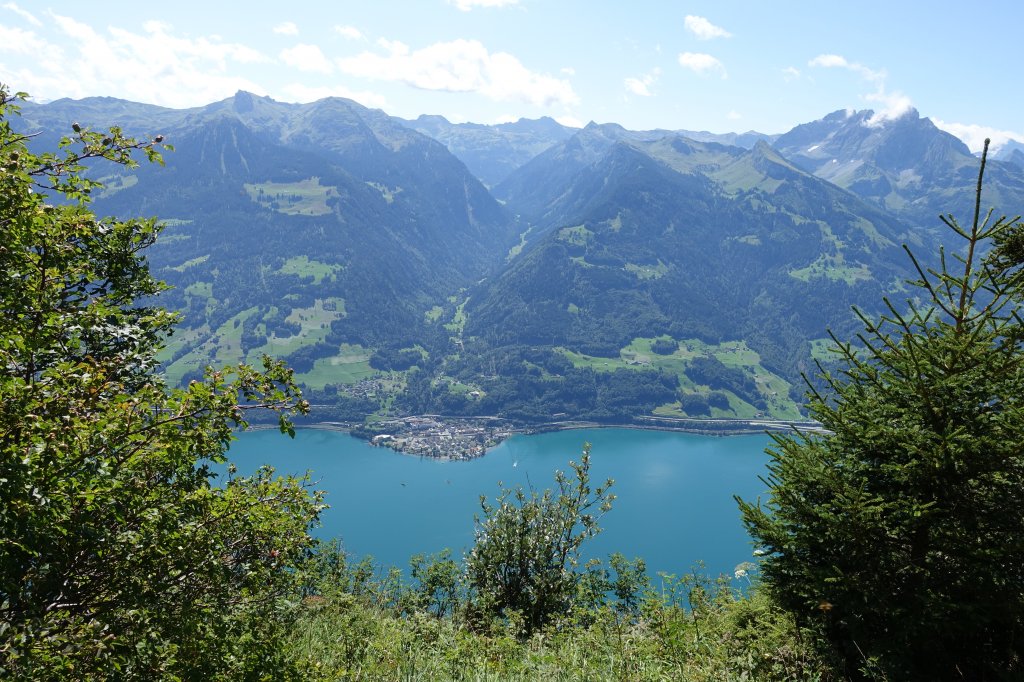
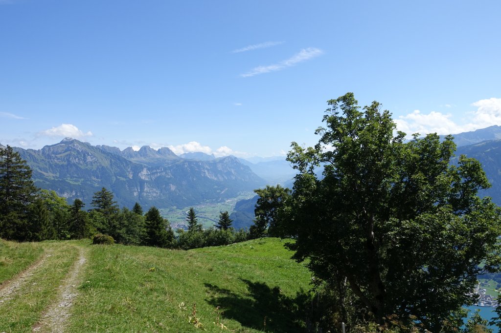
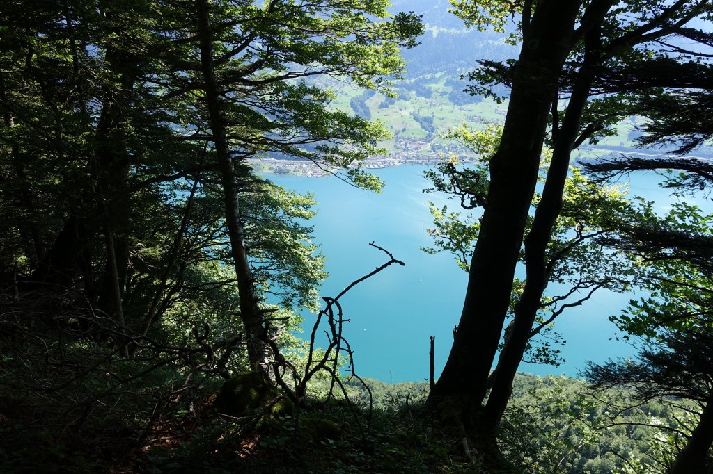
10:45 Uhr: Herrlicher Aussichtspunkt auf 1100 m.
10:45 Uhr: Kleine Pause und geniessen des herrlichen Panoramas.
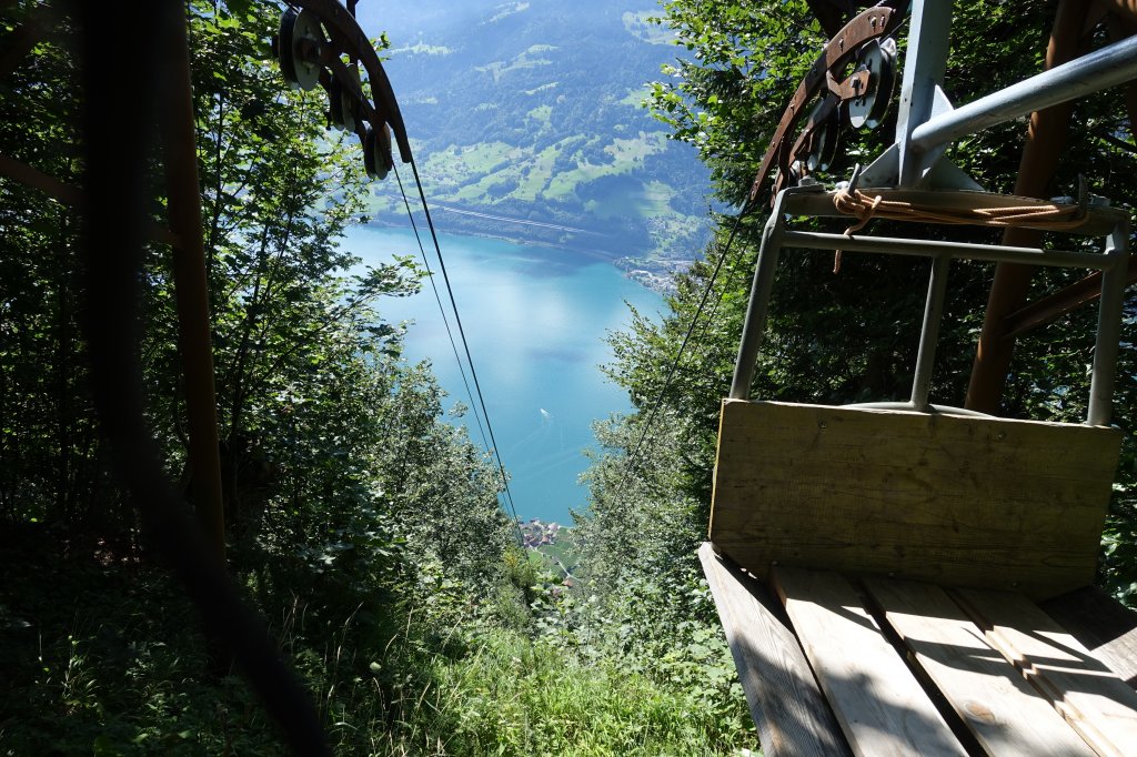
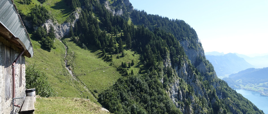
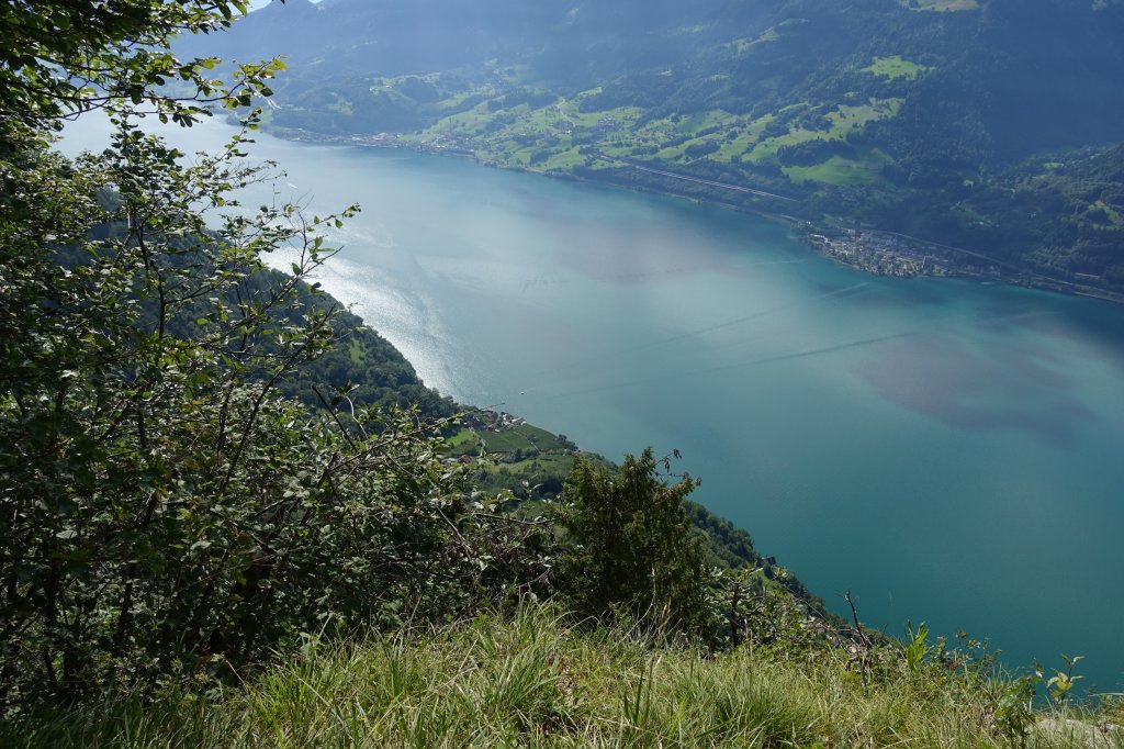
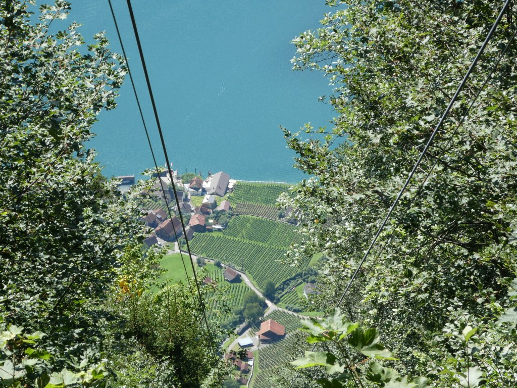
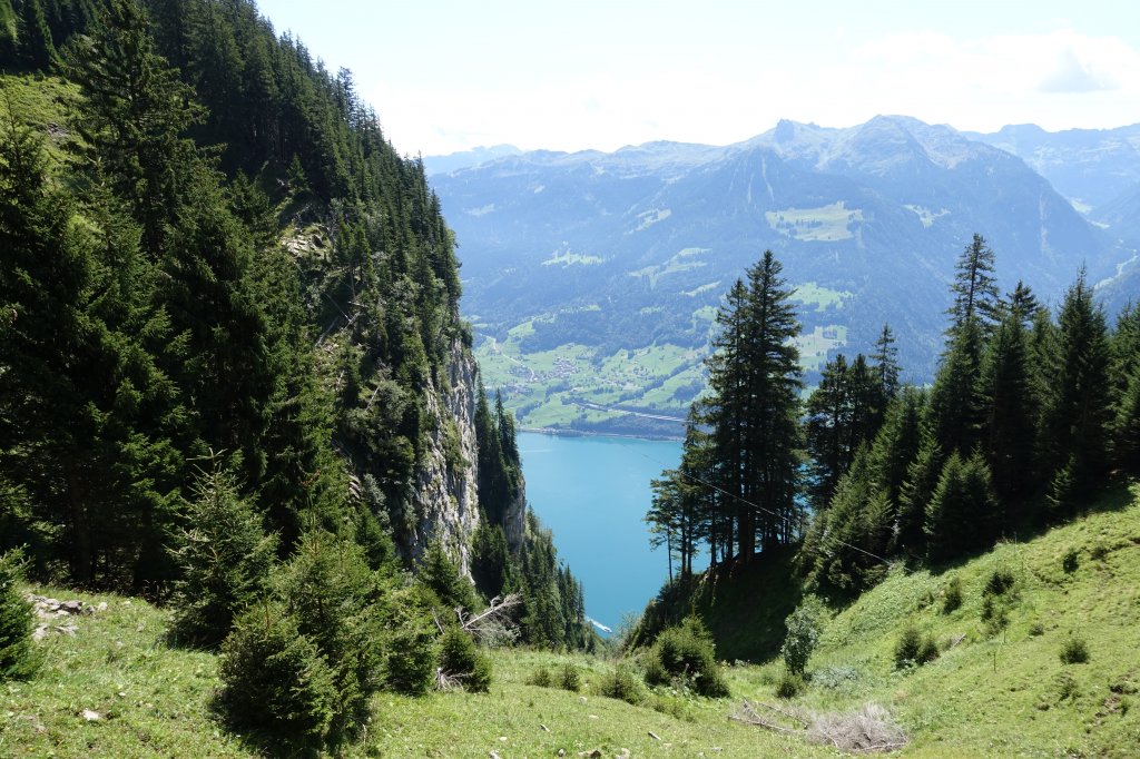
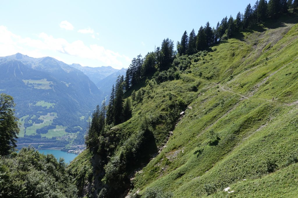
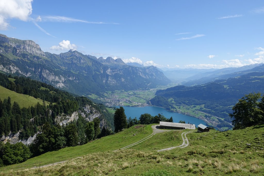
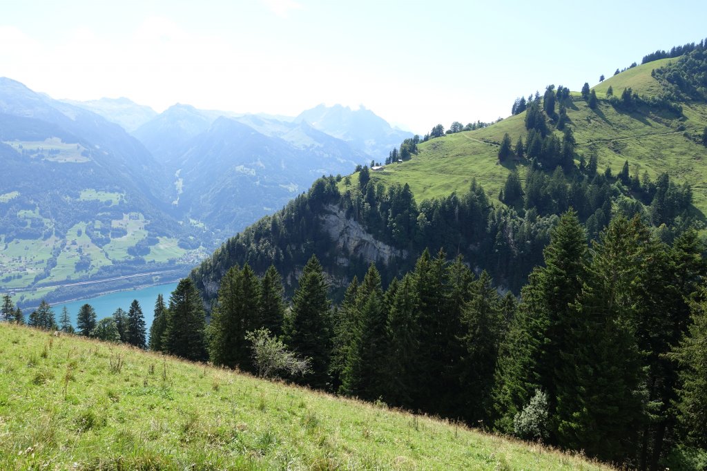
11:30 Uhr: 1330 m.ü.M. Bergstation der Transportbahn. 900 m tiefer liegt Quinten!
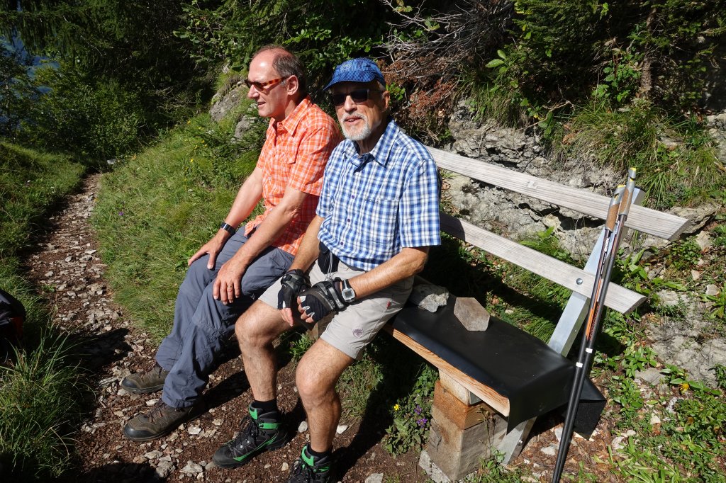
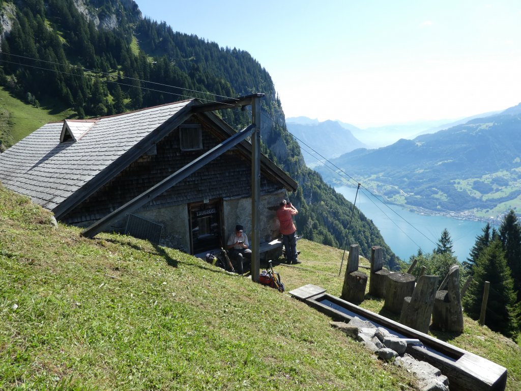
11:40 Uhr: Nach 2 3/4 Stunden und 965 Höhenmeter ist die Laubegg erreicht. Mittagpause verdient!
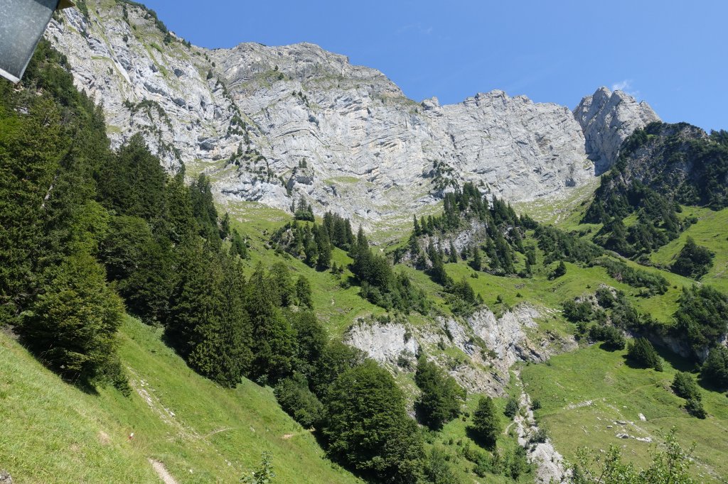
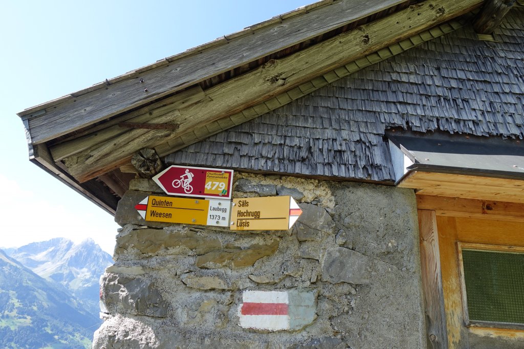
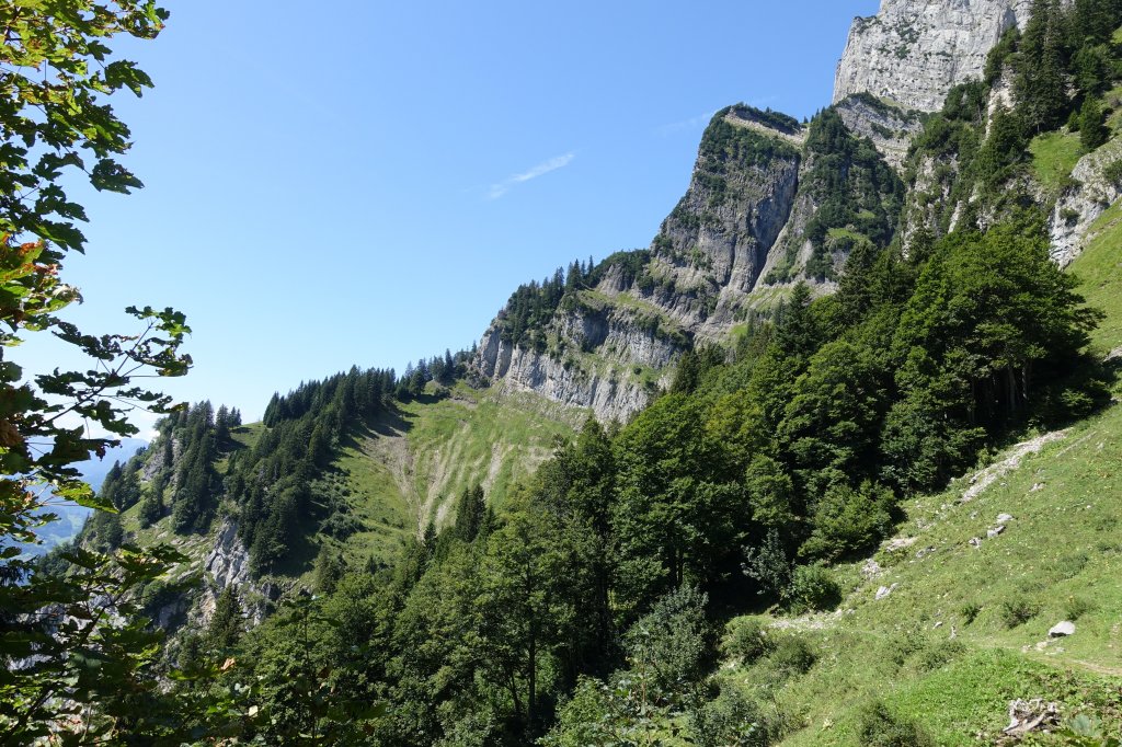
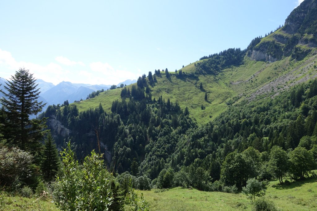
12:30 Uhr: Weiter gehts Richtung Säls
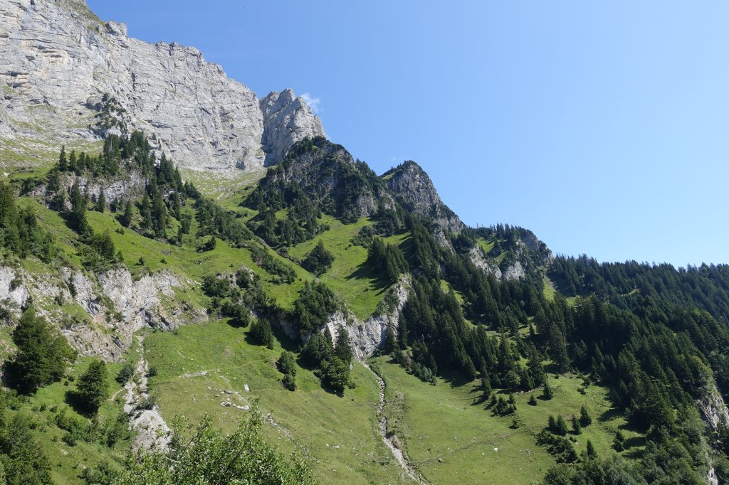
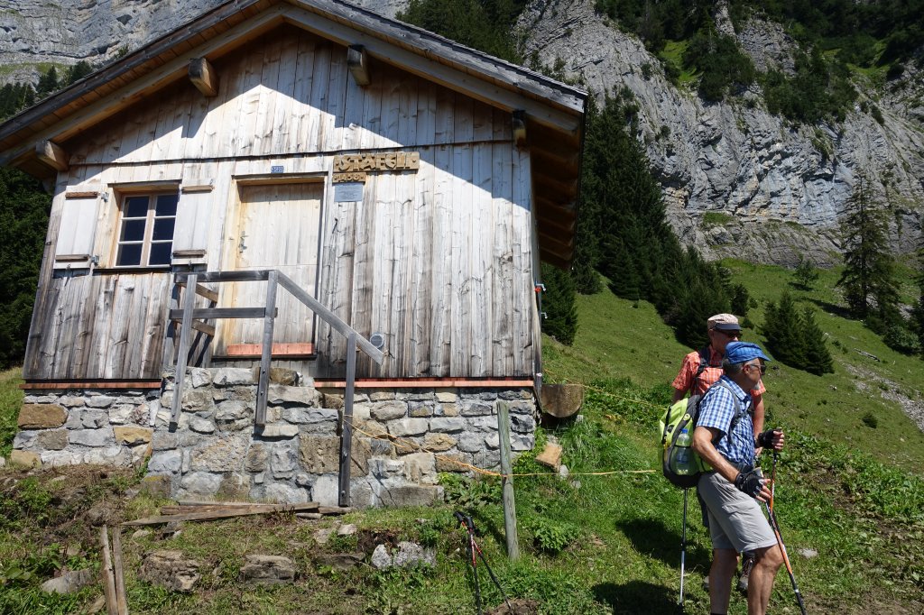
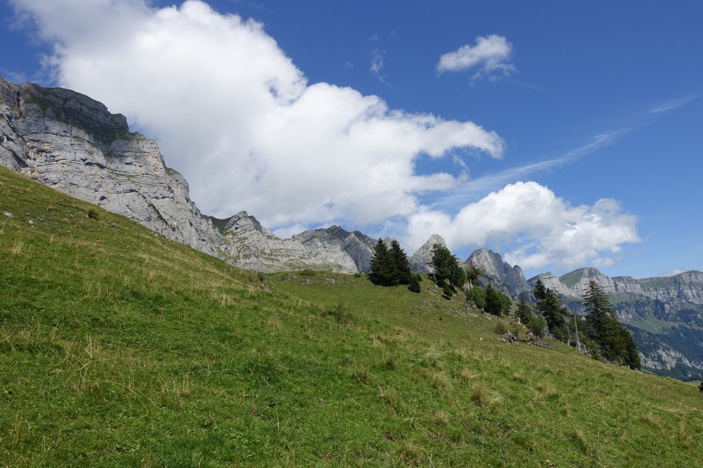
13:00 Uhr: Stäfeli auf 1460 Meter
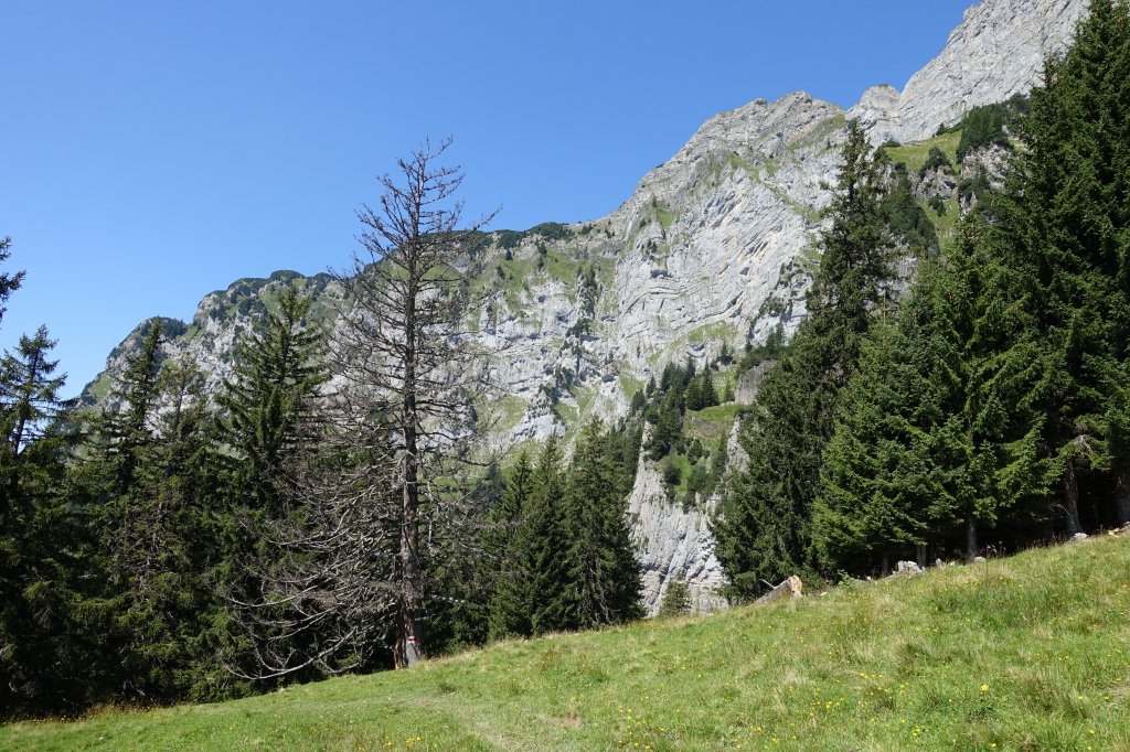
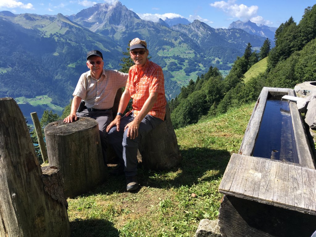
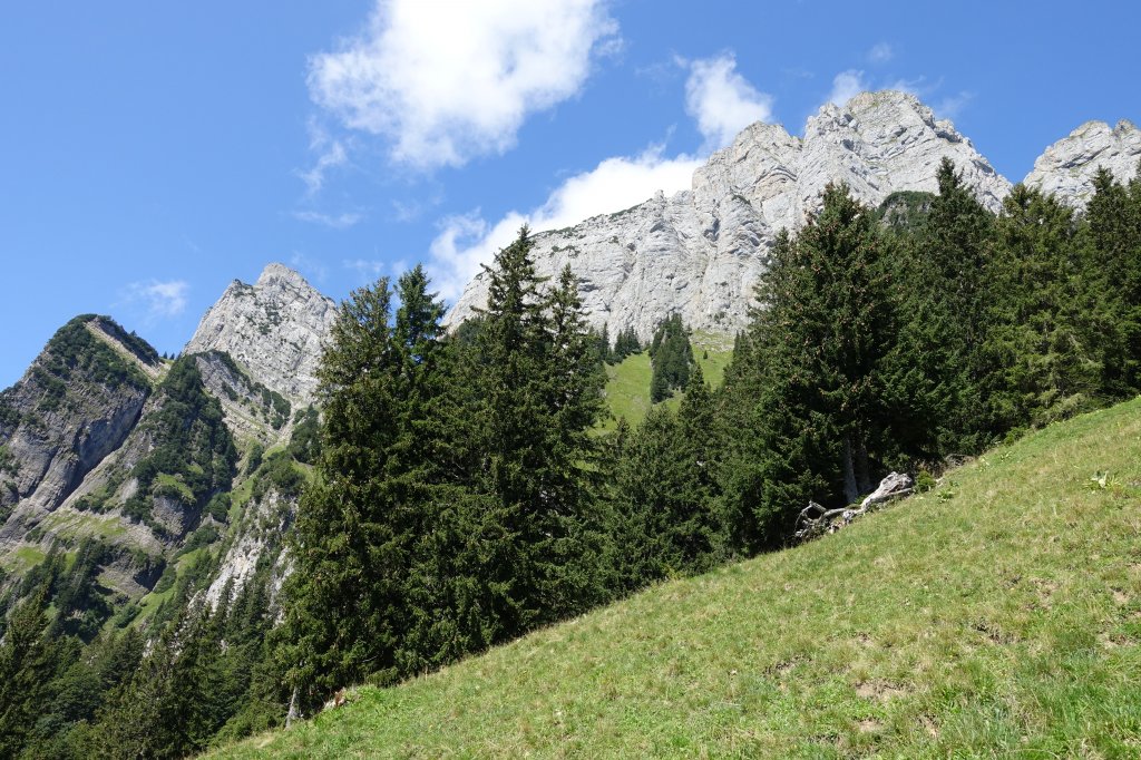
13:15 Uhr: Der höchste Punkt der Wanderung mit 1543 m.ü.M. ist erreicht.
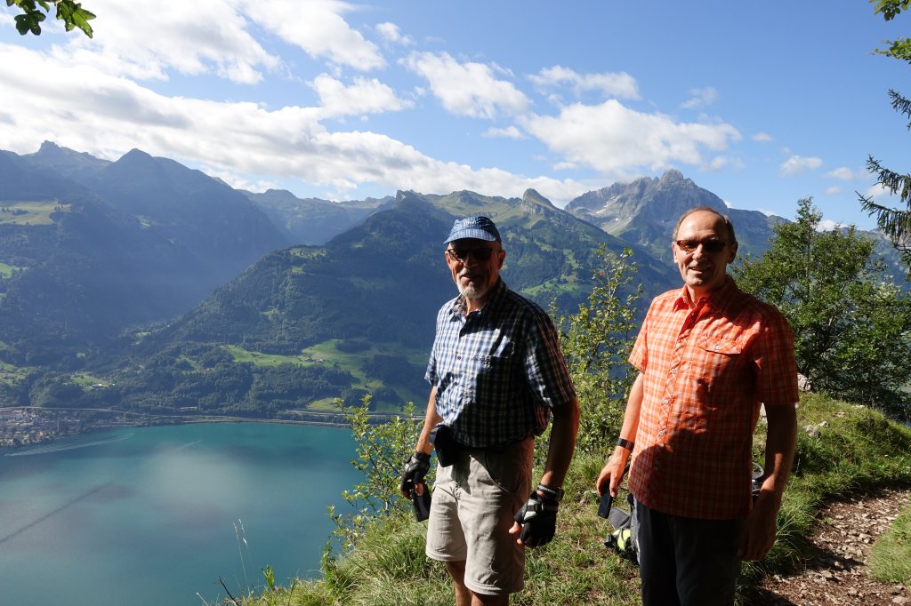
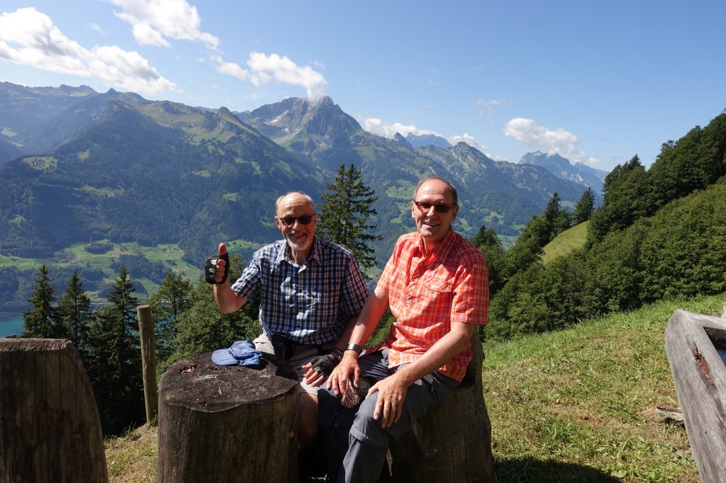
Am höchsten Punkt der Wanderung.
Am höchsten Punkt der Wanderung.
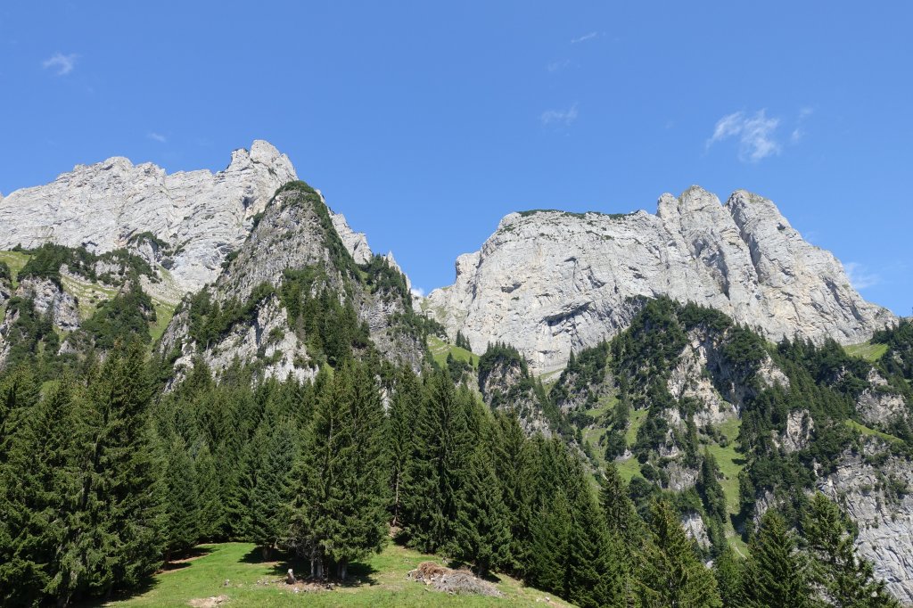
Am höchsten Punkt der Wanderung.
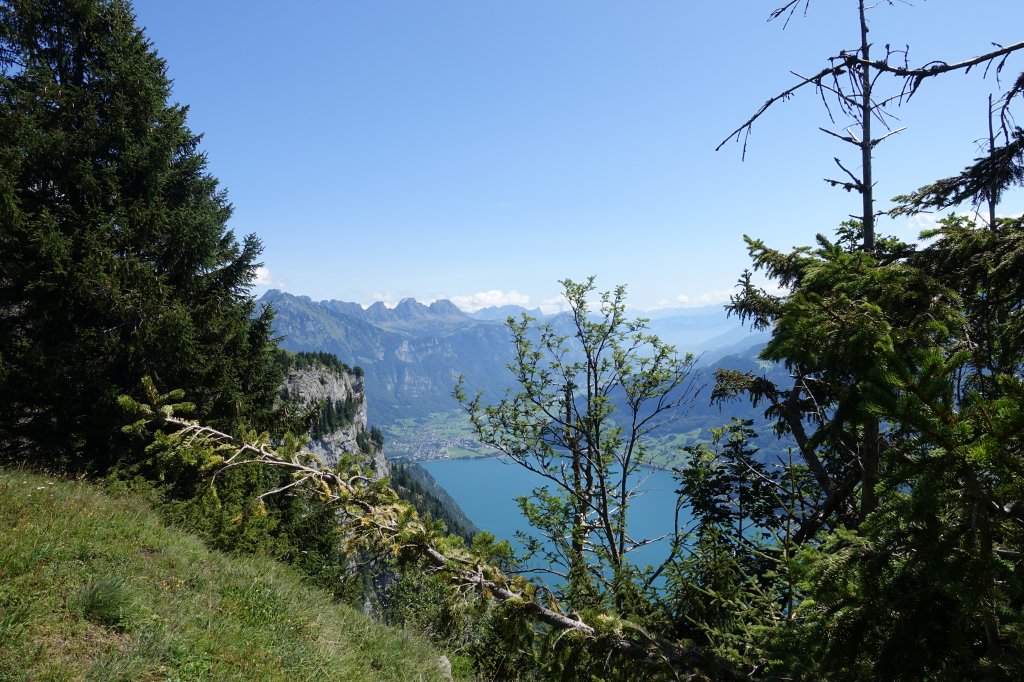
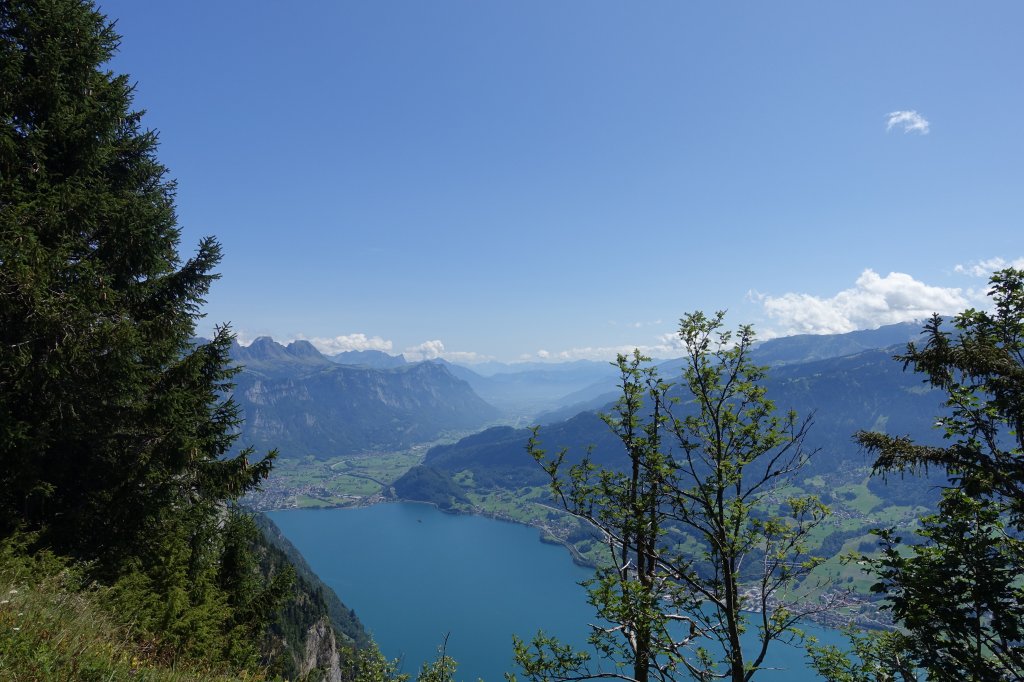
13:30 Uhr: Nach dem höchsten Punkt. Blick zurück.
13:39 Uhr: Nach dem höchsten Punkt. Blick zurück.
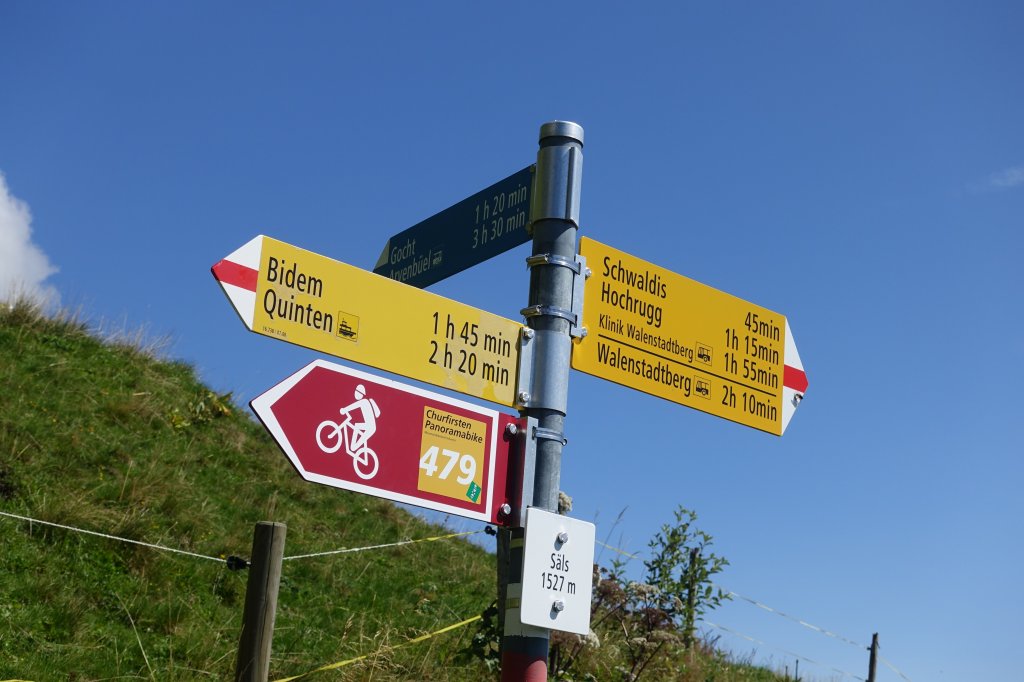
13:35 Uhr: Säls auf 1527 Meter. Ab Säls Churfirstenquerung 3h 30' bis Arvenbühl!!
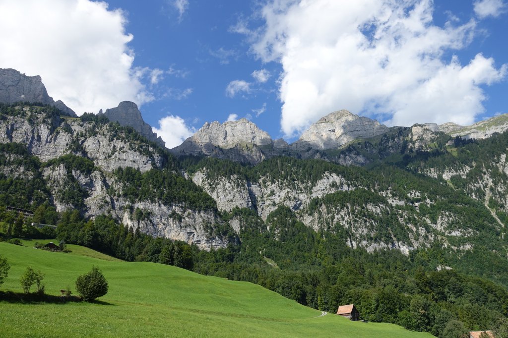
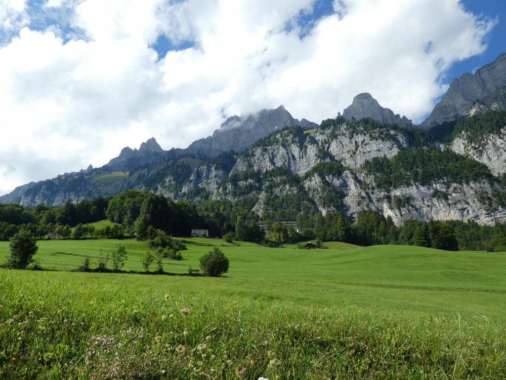
Churfirsten Selun bis Chäserugg
14:00 Uhr Alp Säls ist in Sicht.
13:30 Uhr: Alp Säls links aussen.
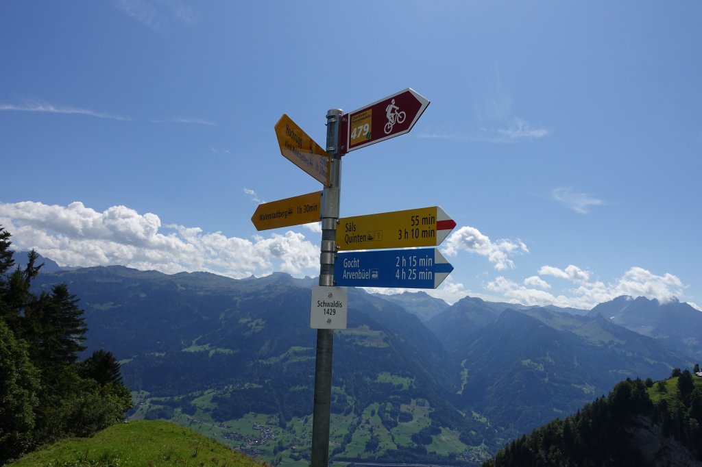
13:40 Uhr: Schwaldis 1439 Meter. Der letzte Abstieg in Richtung Walenstadtberg.
Blick zurück zur Alp Säls
15:45 Uhr: Ankunft in Walenstadtberg. Churfirsten